|
The Route 66 Primer: A Brief History |
| |
 |
|
Route 66 & the National Old Trails Highway
The story of Route 66 starts over a century earlier
when a young country began to grow westward. The vast unexplored lands beyond the Mississippi River fired the imagination
of the American people. The seemingly limitless resources beckoned to a nation on the move. The mountain men themselves, in
an effort to leave the settled east behind, inadvertently opened up the unspoiled west to the westward expansion of a nation
by their explorations. There were no established trails but the ones the mountain men blazed themselves as they followed the
beaver along the traces left by the Native Americans.
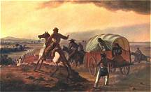
These old trails, blazed by the mountain men, were generally all that existed for the
immigrant wagon trains that followed shortly after. The trails were general courses, where wagons would spread out over a
wide area, following a single track only where landforms forced them to. |
| With the gold rush of 1849, thousands of people sought routes to California,
publicizing the area in an unprecedented way. The west was being opened and from trails such as the Santa Fe Trail, Jedediah
Smith’s route across the Mojave Desert to San Bernardino and Beale’s Wagon Road across New Mexico and Arizona
a transportation corridor began to emerge. The railroads would follow this corridor a few years later further establishing
routes west that would someday become a part of Route 66. The railroad also provided new routes for wagon travel, and wagons
increasingly followed alongside the tracks. |
|
|
| |
|
|
|
|
 |
|
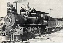
Because train engines were limited in the terrain they could cross, railroad
routes were painstakingly chosen. The railroad had to follow the contours of the land, avoiding steep grades. The railroad
also had to connect sources of water, as the steam engines of those days required substantial water. As a result, the route
was far easier and more gradual than earlier wagon roads had been. Wagon travelers (and, later, motorists) following alongside
the rail tracks could find water and get help in emergencies. Many of the sidings and water stops became communities that
would survive into the highway era. |
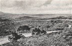
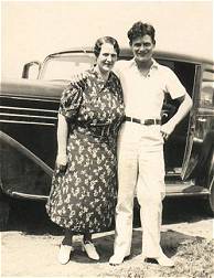
| The advent of the automobile changed the face of America forever.
The arrival of Ford’s Model T in 1908 had a dramatic effect on the American populace, as automobiles became accessible
to the common man. The automobile provided a new economic base never seen before. Now Americans began to travel. No longer
were they confined to the short distances that a horse could travel in a day. Journeys that would take many days on horseback
or wagon now took a mere few hours. |
|
|
| |
|
|
|
|
| With the introduction of the automobile, new businesses sprang
up to provide services for the burgeoning tourist industry. The American Dream was about to undergo a profound change, a change
we still experience today. Travel by automobile was hard in the early days though. The roads weren’t designed for the
horseless carriage. Dirt roads were little better than local trails designed for travel by horseback. Roads would have to
improve before the automobile could open up the vast corners of our country. By 1917 only 2 percent of the nation’s
roads were paved. Most roads were unimproved earth, although some were graded, graveled, or both. |
| |
|
|
|
|
 |
|
Trail organizations were started to address these problems.
These were local groups that promoted the roads around the towns where they lived. There was no real national cohesion at
this time. Local groups did what they pretty much wanted too in their own area. The lack of any national highway group led
to a confusing array of maps and road guides. No two maps were alike. Each guide reflected the organization that had produced
it. There was no correlation between early trail associations and maps often overlapped. Road maps were limited to the general
area or state that the trail organization hailed from. Furthermore the use of highway symbols and color schemes was not standardized.
Navigating from town to town and state to state was very confusing. By the 1920s the public was confused and disgusted. The
cry for a standardized National Highway System was louder than ever before. |
| |
|
|
| The government knew that something would have to be done about
the poor road system in America. The Federal Government finally stepped in and made a concerted effort to bring the various
trail organizations and automobile groups together. In 1921, an amendment to the Federal Aid Road Act was passed, requiring
states to designate primary roads to be included in a state highway system. These roads would be designated U.S. highways. |
 |
|
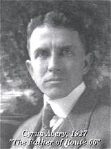
Cyrus Avery was a successful businessman from Oklahoma that wanted to improve
road conditions in his state. Avery, now known to many as the father of Route 66, was charged with establishing what
would become the U.S. highway system, by plotting and mapping the most-important interstate roads in the nation. The Associated
Highways of America developed a plan for the nation’s highways. They laid out a highway system, organized a maintenance
plan for those highways, established a systematic numbering system that replaced the previous tradition of naming roads (Lincoln
Highway, National Old Trails Road, etc.) and a system of standardized, uniform directional, warning, and regulatory signs
for the U.S. highway system. Cyrus Avery became one of the strongest supporters of the Chicago to Los Angeles route, a route
that he wanted to pass through his home state of Oklahoma. |
| |
|
|
|
|
| Supporters of the major east to west route from Chicago to Los Angeles
wanted to follow the Old Santa Fe Trail, which would by pass Oklahoma. This road would be linked with the Old Santa Fe Trail
across the Southwest, which would then be connected to Beale’s wagon route through California to form the National Old
Trails Road. Avery knew that a major highway through Oklahoma would boost that state’s economy so he relentlessly pushed
for an alternate route. Cyrus Avery used a little known trail from the California Gold Rush that ran through Oklahoma, as
he drew plans for the route that would become Route 66. He was successful in his bid to have the new route pass through his
home state. This route was designated U.S. Highway 66. On November 11, 1926 a bill was signed in Washington creating the American
Highway System. Route 66 along with the rest of the early two-lane roads became a reality. Our country had entered a new era.
The great roads were to be built. Roads to carry a nation on the move, through hard times, war, and rebirth. Route 66 would
become the most celebrated and famous of these two-lanes. Route 66 was about to become the "Main Street of America." |
|
|
 |
|
Route 66 has held a special place in the American consciousness from its beginning.
The road is uniquely American. There are a thousand stories of hope, heartbreak, love, hate, starting over, and new dreams
found along the next bend of the highway we call the Mother Road. The story of Route 66 is our story; it embodies what makes
us a great nation. No other culture has had the same type of love affair with the automobile, and few have had the wide-open
spaces offered by the American West. |
| |
|
|
| The 2,400-mile route winds from Jackson Boulevard and Michigan Avenue in
Chicago to Los Angeles, through the most romantic and celebrated portions of the American West. Route 66 was a lifeline
through much of America, connecting the small midwestern towns of Illinois, Missouri, and Kansas, with the big cities of Los
Angeles and Chicago. |
| Route 66 is the National Old Trails Highway. On November 11, 1926 Route 66 was born. It followed the
old trails laid out by the early explorers and railroad. Route 66 became the twentieth century version of the Oregon
Trail, the golden road to the promised land and has inspired our spirit ever since. John Steinbeck called it the Mother Road,
and indeed it was. It provided hope to the farmers of the dust bowl era going west to find a new life. It served our country
well during time of war. In optimistic post W.W.II America, Route 66 defined a generation looking for adventure and freedom
on the open road. To understand the history of Route 66 is to understand a little bit about ourselves, where
we came from and where we hope to go in the future. |
|
|
| |
|
|
Experience the Mother Road yourself; take a journey down
the highway of dreams. This is her story, which really is our story after all. Maybe the times weren't actually
simpler back then, but it sure does seem so sometimes in our modern world. |
Shadows of Route 66 ~ California |
|
|

|

|
|
|
|
|
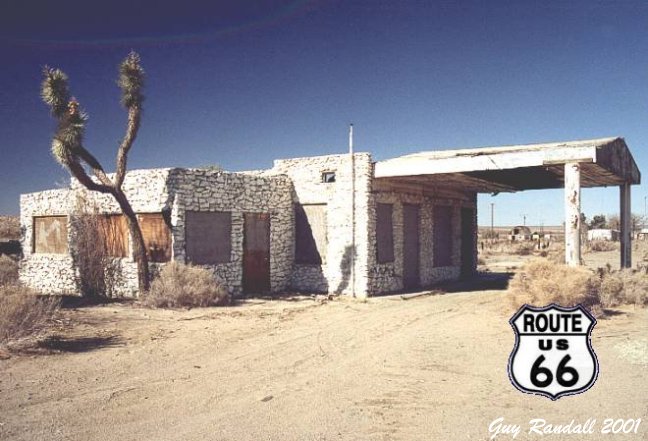
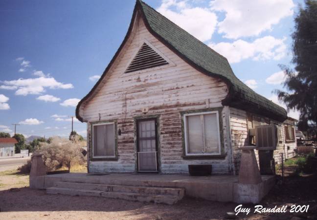
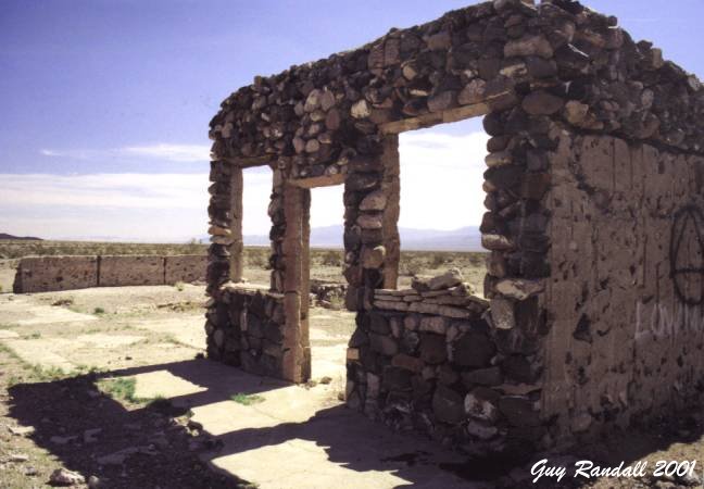
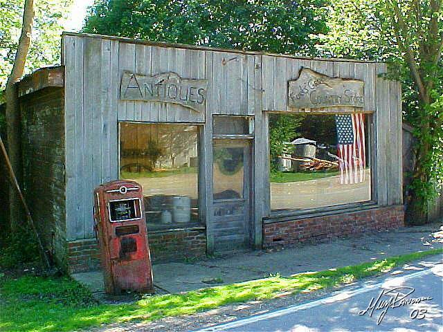
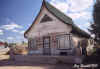
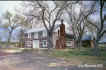
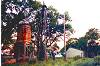
Cucamonga |
Cajon Pass, CA |
Helendale, CA |
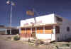
Daggett Cafe |
Ludlow, CA |
Siberia, CA |
Shadows of Route 66 ~ California to Arizona |
|
|

|

|
|

|
|
|
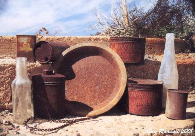
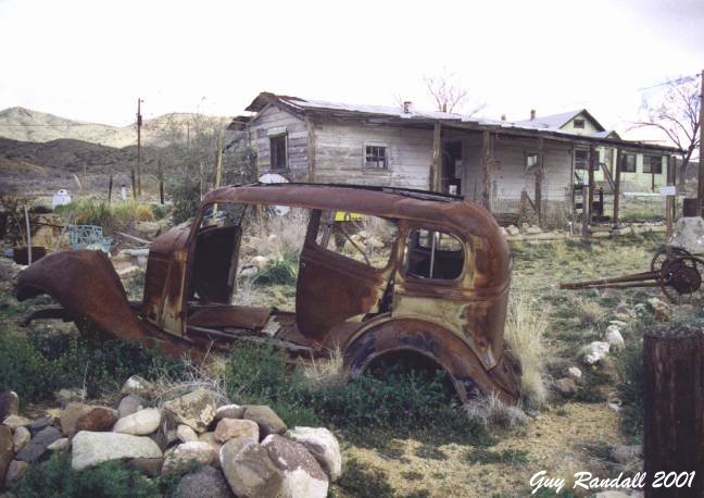
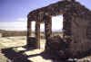
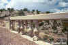
Summit Relics |
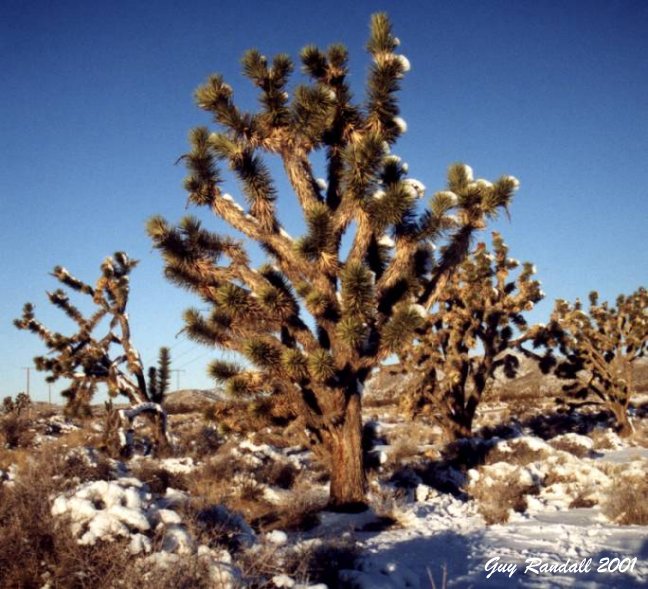
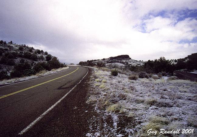
Mojave Snow |
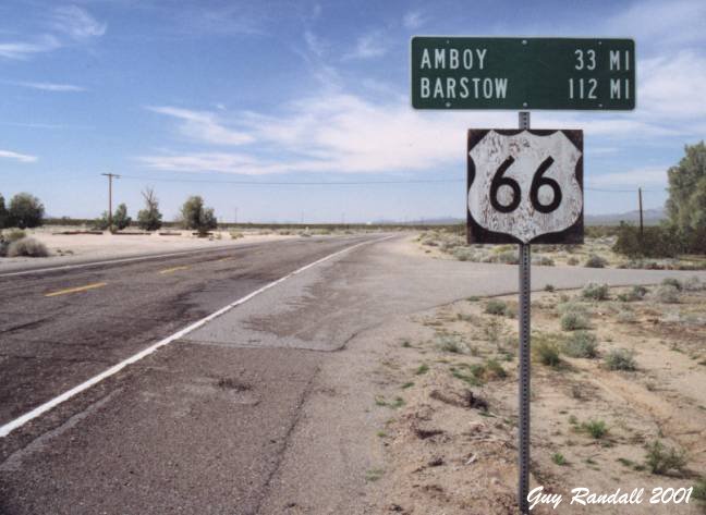
CA Route 66 |
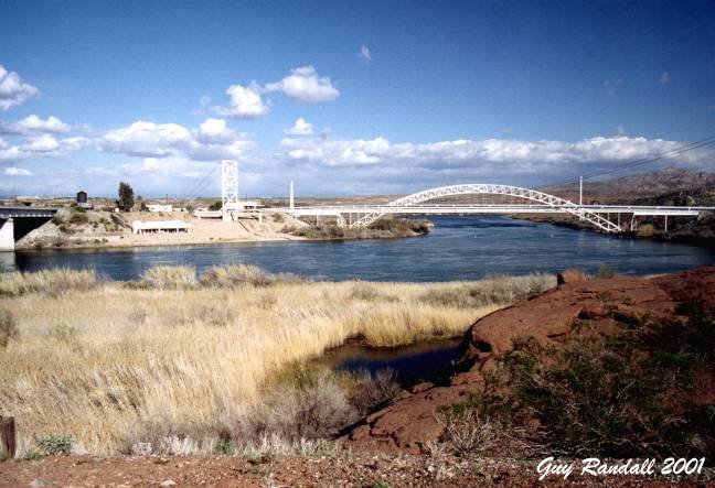
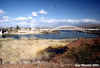
Colorado River |
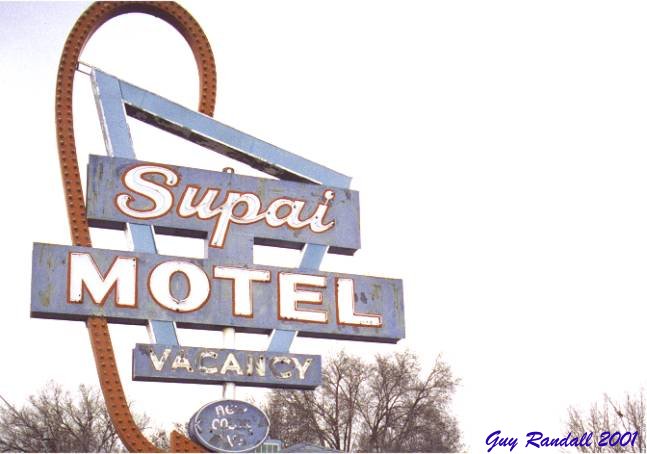
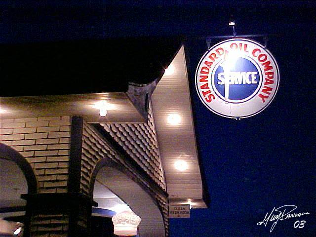
Hackberry, AZ |
Valentine, AZ |
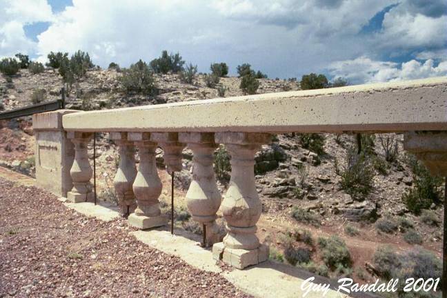
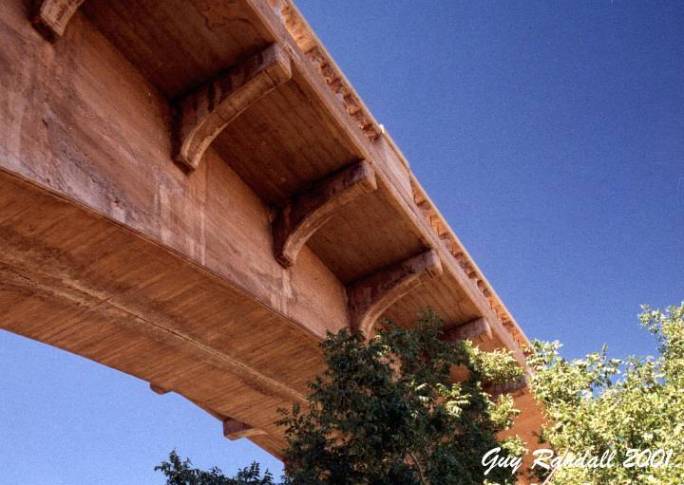
Shadows of Route 66 ~ Arizona to New Mexico |
|
|
|
|
|

|
|
|
Seligman, AZ |
Crookton Road |
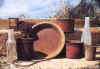
Pittman Valley |
Padre Canyon |
Padre Canyon |
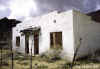
Budville, NM |
Shadows of Route 66 ~ New Mexico to Oklahoma |
|
|

|
|
|
|
|
|
Newkirk, NM |
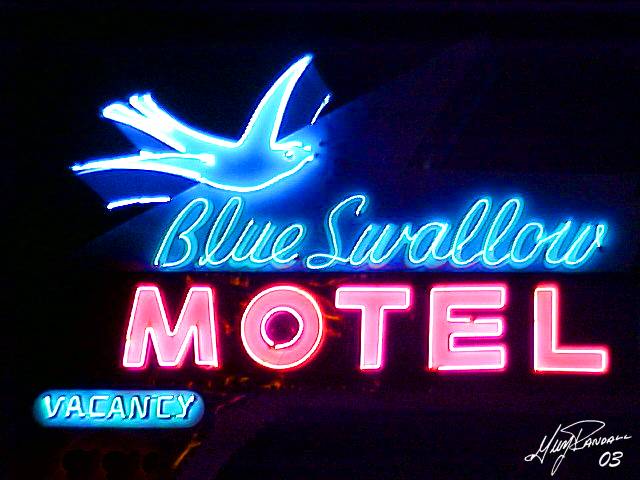
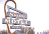
Blue Swallow |
Glen Rio, NM |
Groom, TX |
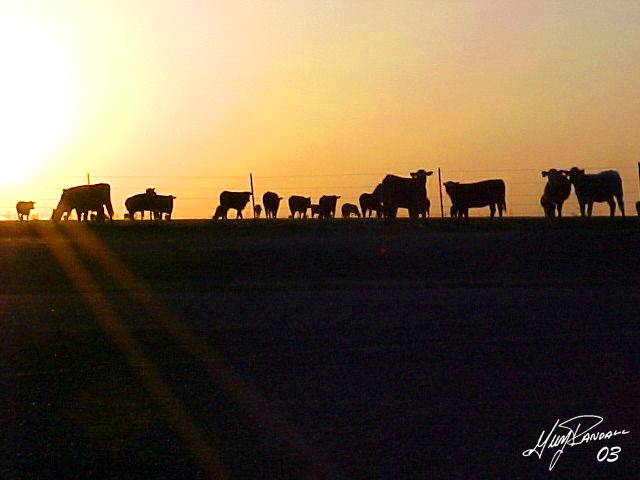
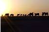
Groom Cows |
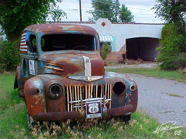
Texola Gas |
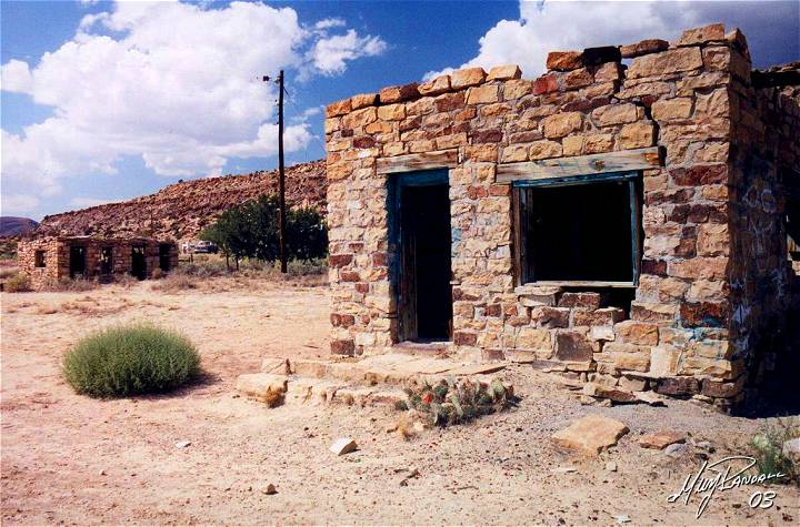
Shadows of Route 66 ~ Oklahoma to Missouri |
|
|
|
|

|
|
|
|
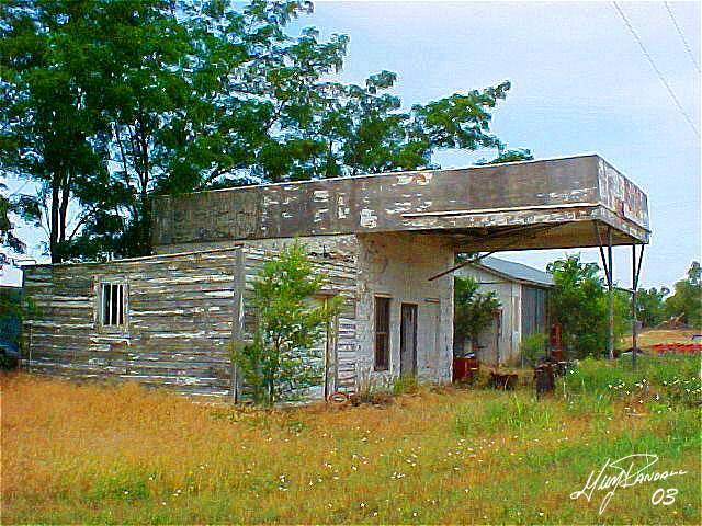
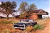
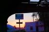
Texola, OK |
Erick, OK |
Chandler, OK |
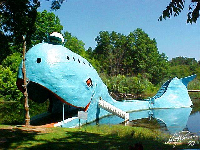
Blue Whale |
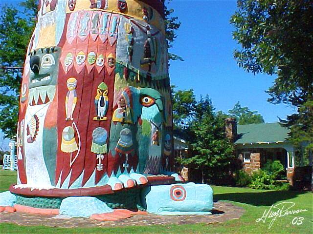
Foyil, OK |
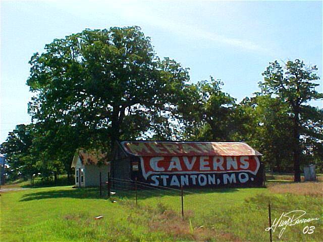
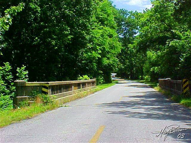
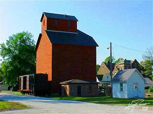
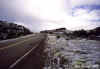
Missouri Rt. 66 |
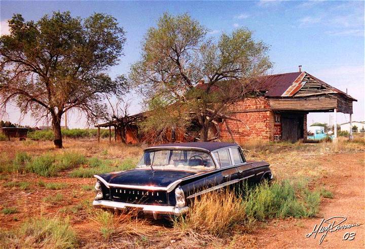
Shadows of Route 66 ~ Missouri to Illinois |
|
|

|
|
|
|
|
|
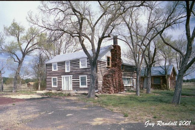
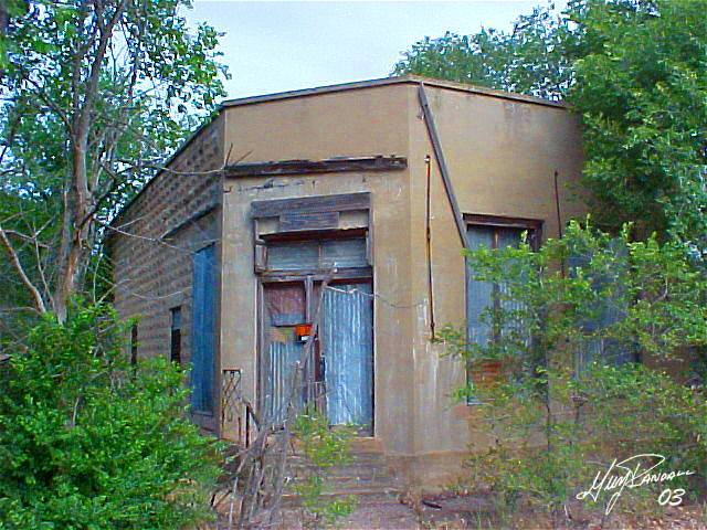
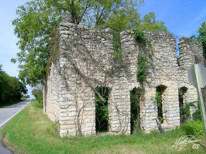
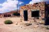
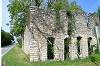
Missouri Ghost |
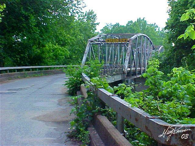
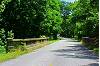
Devil's Elbow |
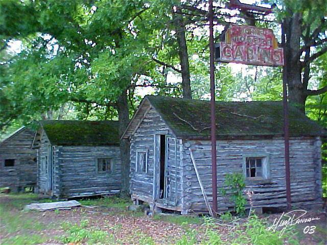
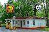
Modern Cabins |
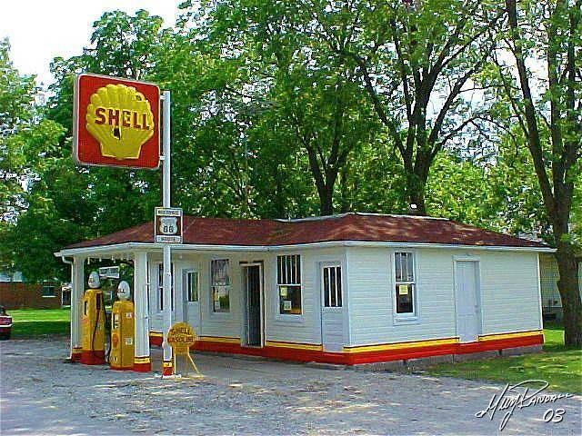
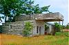
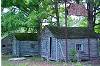
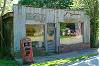
Soulsby Station |
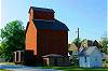
Atlanta, IL |
Funk's Grove |
Shadows of Route 66 ~ Illinois |
Rock Art Gallery |
|

|
|
|

|
|

|
|
Odell, IL |
|
|
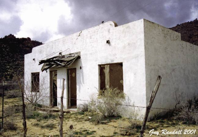
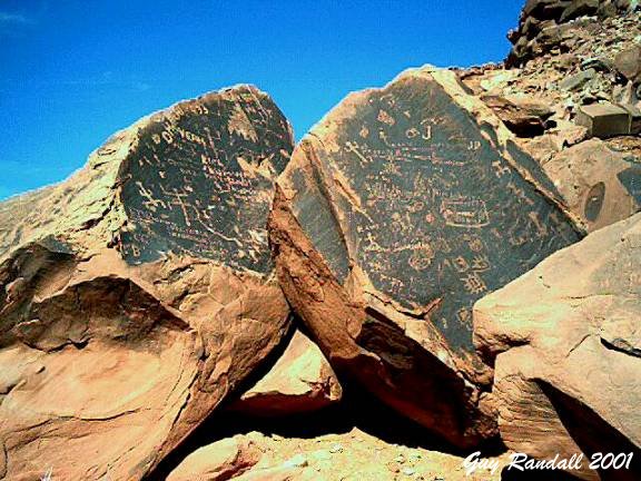
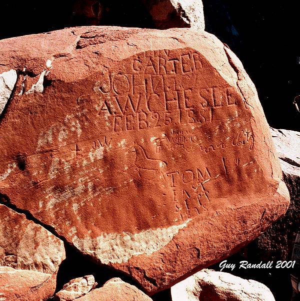
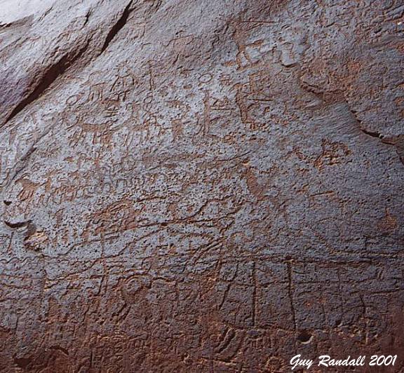
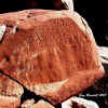
Moenave, AZ |
1881 Mormon |
Kokopelli |
|